

Zimatán topographic map
Click on the map to display elevation.
About this map
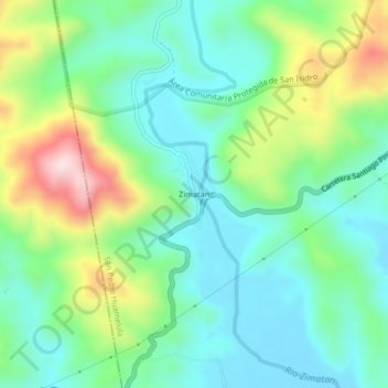
Name: Zimatán topographic map, elevation, terrain.
Location: Zimatán, San Pedro Huamelula, Oaxaca, Mexico (15.82722 -96.01917 15.86722 -95.97917)
Average elevation: 131 m
Minimum elevation: 7 m
Maximum elevation: 421 m