
Kordilleren topographic map
Interactive map
Click on the map to display elevation.
About this map
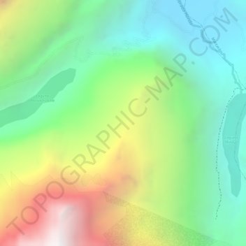
Name: Kordilleren topographic map, elevation, terrain.
Location: Kordilleren, San Miguel de Aco, Carhuaz, Ancash, Peru (-9.34155 -77.36065 -9.34145 -77.36055)
Average elevation: 4,791 m
Minimum elevation: 4,184 m
Maximum elevation: 5,737 m