
Perkins County topographic map
Click on the map to display elevation.
About this map
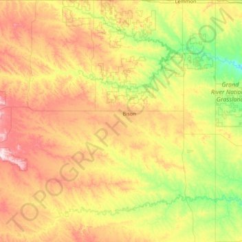
Name: Perkins County topographic map, elevation, terrain.
Location: Perkins County, South Dakota, United States (45.03817 -102.96049 45.94545 -101.99989)
Average elevation: 799 m
Minimum elevation: 634 m
Maximum elevation: 1,100 m
Other topographic maps
Click on a map to view its topography, its elevation and its terrain.