Geolocate

Macclenny topographic map

Click on the map to display elevation.

About this map

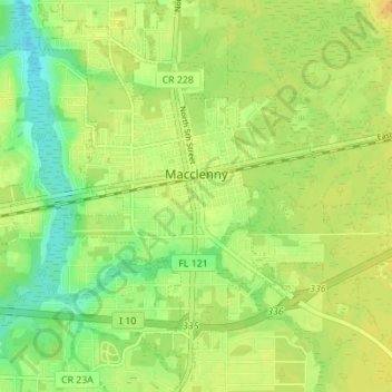
Name: Macclenny topographic map, elevation, terrain.

Location: Macclenny, Baker County, Florida, 32063, United States (30.24883 -82.14989 30.30859 -82.09967)

Average elevation: 39 m

Minimum elevation: 23 m

Maximum elevation: 51 m

Gear up for your next adventure:

🥾Trail Hiking Socks - Comfortable socks to prevent blisters and fatigue
🧢Hiking Sun Hat - Wide-brimmed protection for exposed mountain ridges
🎒Hiking Daypack - Lightweight and durable backpacks for day trips and excursions
🔥Emergency Fire Starter - Reliable ignition source for all weather conditions
🔋Solar Power Bank - Keep your GPS and devices charged during long outdoor trips

As an Amazon Associate, this site earns from qualifying purchases at no extra cost to you.