
Rio topographic map
Click on the map to display elevation.
About this map
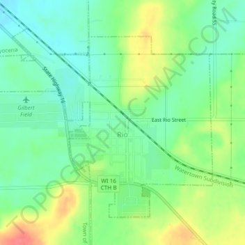
Name: Rio topographic map, elevation, terrain.
Location: Rio, Columbia County, Wisconsin, 53960, United States (43.43846 -89.25971 43.45951 -89.22619)
Average elevation: 292 m
Minimum elevation: 268 m
Maximum elevation: 332 m
Other topographic maps
Click on a map to view its topography, its elevation and its terrain.
Englewood
United States > Wisconsin > Columbia County > Town of Fountain Prairie
Average elevation: 276 m