
Thank you for supporting this site ❤️
Make a donation
Make a donation
Gear up for your next adventure:
As an Amazon Associate, this site earns from qualifying purchases at no extra cost to you.
Khudaganj topographic map
Click on the map to display elevation.
Thank you for supporting this site ❤️
Make a donation
Make a donation
Gear up for your next adventure:
As an Amazon Associate, this site earns from qualifying purchases at no extra cost to you.
About this map
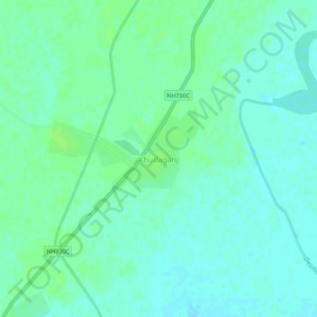
Name: Khudaganj topographic map, elevation, terrain.
Location: Khudaganj, Tilhar, Shahjahanpur, Uttar Pradesh, 242305, India (28.12651 79.69332 28.16651 79.73332)
Average elevation: 162 m
Minimum elevation: 157 m
Maximum elevation: 166 m
Thank you for supporting this site ❤️
Make a donation
Make a donation
Gear up for your next adventure:
As an Amazon Associate, this site earns from qualifying purchases at no extra cost to you.