Geolocate

Florence topographic map

Click on the map to display elevation.

About this map

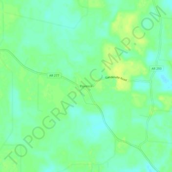
Name: Florence topographic map, elevation, terrain.

Location: Florence, Drew County, Arkansas, United States (33.74566 -91.66568 33.78566 -91.62568)

Average elevation: 55 m

Minimum elevation: 47 m

Maximum elevation: 64 m

Other topographic maps

Click on a map to view its topography, its elevation and its terrain.

Monticello

United States > Arkansas > Drew County

Average elevation: 78 m

Gear up for your next adventure:

🛶Kayak Dry Bag - Waterproof storage for kayaking adventures
🦟Insect Repellent - Keep mosquitoes and black flies away in wooded areas
🛌Insulated Sleeping Pad - Critical thermal barrier between you and the cold ground
🛌Down Sleeping Bag - Superior warmth-to-weight ratio for cold nights
🧊Portable Cooler - Keep food and drinks cold during outdoor adventures

As an Amazon Associate, this site earns from qualifying purchases at no extra cost to you.