
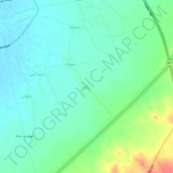
دگڑہ topographic map
Interactive map
Click on the map to display elevation.
About this map
Name: دگڑہ topographic map, elevation, terrain.
Location: دگڑہ, ضلع اٹک, Pendjab, Pakistan (33.87212 72.49995 33.91212 72.53995)
Average elevation: 332 m
Minimum elevation: 316 m
Maximum elevation: 372 m