Geolocate

Mount Hope topographic map

Click on the map to display elevation.

About this map

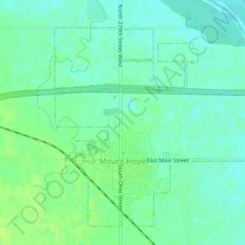
Name: Mount Hope topographic map, elevation, terrain.

Location: Mount Hope, Sedgwick County, Kansas, United States (37.86137 -97.67459 37.88433 -97.64241)

Average elevation: 439 m

Minimum elevation: 433 m

Maximum elevation: 445 m

Other topographic maps

Click on a map to view its topography, its elevation and its terrain.

Rolling Hills

United States > Kansas > Sedgwick County > Wichita

Average elevation: 408 m

Gear up for your next adventure:

🦌Outdoor Trail Camera - Monitor wildlife activity near your favorite spots
🎒Hiking Backpack - Lightweight and ergonomic backpacks for day hikes or multi-day treks
🧢Sun Hat - Wide-brim hat for sun protection
🥾All-Terrain Hiking Boots - Versatile boots for varied hiking conditions
🧼Biodegradable Camp Soap - Environmentally friendly cleaning for gear and body

As an Amazon Associate, this site earns from qualifying purchases at no extra cost to you.