Geolocate

Nagothane topographic map

Click on the map to display elevation.

About this map

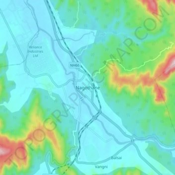
Name: Nagothane topographic map, elevation, terrain.

Location: Nagothane, Roha, Raigad District, Maharashtra, 402106, India (18.50407 73.09629 18.58407 73.17629)

Average elevation: 79 m

Minimum elevation: 0 m

Maximum elevation: 424 m

Gear up for your next adventure:

🧦Hiking Socks - Moisture-wicking and comfortable socks for long hikes
🥾Approach Boots - Comfortable boots for hiking and climbing approaches
🕶️Polarized Sunglasses - Protect your eyes with durable polarized lenses
🚲Bike Repair Kit - Essential tools for on-trail mechanical issues
🛏️Camping Sleeping Mat - Comfortable mats for sleeping outdoors

As an Amazon Associate, this site earns from qualifying purchases at no extra cost to you.