
Alesa topographic map
Interactive map
Click on the map to display elevation.
About this map
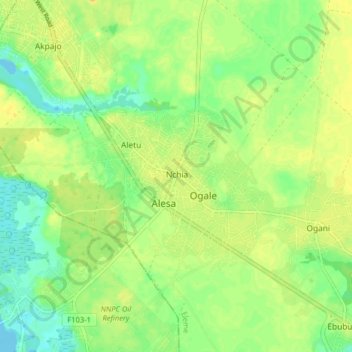
Name: Alesa topographic map, elevation, terrain.
Location: Alesa, Eleme, Rivers, Nigeria (4.75180 7.08010 4.83180 7.16010)
Average elevation: 14 m
Minimum elevation: -2 m
Maximum elevation: 26 m