
Thank you for supporting this site ❤️
Make a donation
Make a donation
Gear up for your next adventure:
As an Amazon Associate, this site earns from qualifying purchases at no extra cost to you.
Binkadakatti topographic map
Click on the map to display elevation.
Thank you for supporting this site ❤️
Make a donation
Make a donation
Gear up for your next adventure:
As an Amazon Associate, this site earns from qualifying purchases at no extra cost to you.
About this map
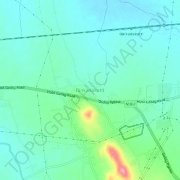
Name: Binkadakatti topographic map, elevation, terrain.
Location: Binkadakatti, Gadag taluk, Gadag, Karnataka, 582103, India (15.40315 75.56655 15.44315 75.60655)
Average elevation: 670 m
Minimum elevation: 642 m
Maximum elevation: 773 m
Thank you for supporting this site ❤️
Make a donation
Make a donation
Gear up for your next adventure:
As an Amazon Associate, this site earns from qualifying purchases at no extra cost to you.