
Shalimar topographic map
Interactive map
Click on the map to display elevation.
About this map
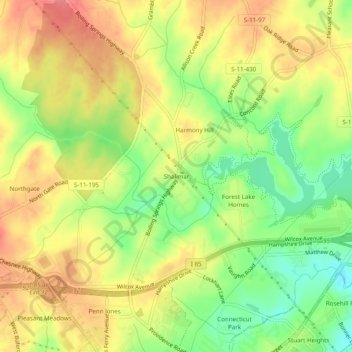
Name: Shalimar topographic map, elevation, terrain.
Location: Shalimar, Cherokee County, South Carolina, 29341, USA (35.08985 -81.67093 35.12985 -81.63093)
Average elevation: 229 m
Minimum elevation: 190 m
Maximum elevation: 260 m