
Guri topographic map
Interactive map
Click on the map to display elevation.
About this map
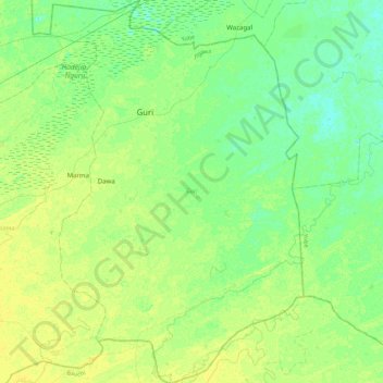
Name: Guri topographic map, elevation, terrain.
Location: Guri, Jigawa, Nigeria (12.42393 10.31055 12.85373 10.60208)
Average elevation: 348 m
Minimum elevation: 341 m
Maximum elevation: 356 m
Other topographic maps
Click on a map to view its topography, its elevation and its terrain.