
Make a donation
Gear up for your next adventure:
As an Amazon Associate, this site earns from qualifying purchases at no extra cost to you.
Princetown topographic map
Click on the map to display elevation.
Make a donation
Gear up for your next adventure:
As an Amazon Associate, this site earns from qualifying purchases at no extra cost to you.
Princetown
Princetown, like the rest of Dartmoor, experiences colder and wetter weather than most of Devon, especially because of its high altitude. Snow is uncommon but is usually heavy when it does fall. According to the Köppen climate classification the climate would be classified as Cfb bordering on Cfc.
Make a donation
Gear up for your next adventure:
As an Amazon Associate, this site earns from qualifying purchases at no extra cost to you.
About this map
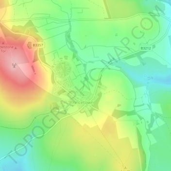
Name: Princetown topographic map, elevation, terrain.
Average elevation: 417 m
Minimum elevation: 347 m
Maximum elevation: 513 m
Make a donation
Gear up for your next adventure:
As an Amazon Associate, this site earns from qualifying purchases at no extra cost to you.