Geolocate

dungahar topographic map

Click on the map to display elevation.

About this map

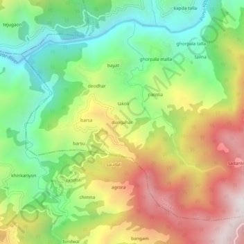
Name: dungahar topographic map, elevation, terrain.

Location: dungahar, Thailisain, Pauri Garhwal, Uttarakhand, India (29.78138 78.92621 29.82138 78.96621)

Average elevation: 1,450 m

Minimum elevation: 955 m

Maximum elevation: 2,104 m

Other topographic maps

Click on a map to view its topography, its elevation and its terrain.

Tarakund

India > Uttarakhand > Thailisain

Average elevation: 2,127 m

Gear up for your next adventure:

🚲MTB Frame Bag - Carry tools and maps directly on your bicycle frame
🧦Merino Wool Socks - Moisture-wicking comfort for long-distance hiking
🥾Trail Hiking Shoes - Durable shoes designed for rugged trails
🧭GPS Outdoor Watch - Smart watch for navigation and fitness tracking in nature
🥾Hiking Boots - Sturdy boots providing ankle support and traction on rugged trails

As an Amazon Associate, this site earns from qualifying purchases at no extra cost to you.