
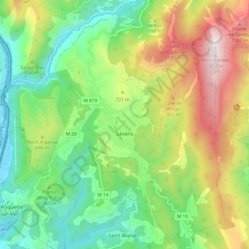
Levens topographic map
Interactive map
Click on the map to display elevation.
About this map
Name: Levens topographic map, elevation, terrain.
Average elevation: 594 m
Minimum elevation: 118 m
Maximum elevation: 1,398 m
Levens liegt etwa 25 Kilometer nördlich von Nizza auf etwa 600 Metern Höhe, oberhalb des Zusammenflusses der Flüsse Estéron, Vésubie und Var.