
Loksa linn topographic map
Interactive map
Click on the map to display elevation.
About this map
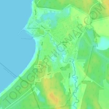
Name: Loksa linn topographic map, elevation, terrain.
Location: Loksa linn, Harju maakond, Estonia (59.56453 25.69868 59.59236 25.73453)
Average elevation: 9 m
Minimum elevation: -2 m
Maximum elevation: 24 m
Other topographic maps
Click on a map to view its topography, its elevation and its terrain.