
Thank you for supporting this site ❤️
Make a donation
Make a donation
Gear up for your next adventure:
As an Amazon Associate, this site earns from qualifying purchases at no extra cost to you.
Khood topographic map
Click on the map to display elevation.
Thank you for supporting this site ❤️
Make a donation
Make a donation
Gear up for your next adventure:
As an Amazon Associate, this site earns from qualifying purchases at no extra cost to you.
About this map
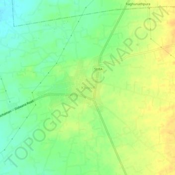
Name: Khood topographic map, elevation, terrain.
Location: Khood, Danta Ramgarh Tehsil, Sikar, Rajasthan, 332023, India (27.39203 75.03657 27.43203 75.07657)
Average elevation: 464 m
Minimum elevation: 449 m
Maximum elevation: 478 m
Thank you for supporting this site ❤️
Make a donation
Make a donation
Gear up for your next adventure:
As an Amazon Associate, this site earns from qualifying purchases at no extra cost to you.