Geolocate

Qursaya topographic map

Click on the map to display elevation.

About this map

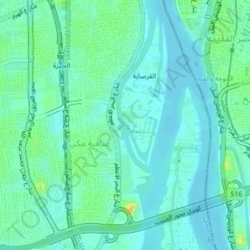
Name: Qursaya topographic map, elevation, terrain.

Location: Qursaya, Giza, Egypt (29.99745 31.21608 29.99800 31.21641)

Average elevation: 23 m

Minimum elevation: 12 m

Maximum elevation: 57 m

Gear up for your next adventure:

🎒Backpack Rain Cover - External shield to keep your entire pack dry
🥾Trail Hiking Shoes - Durable shoes designed for rugged trails
🦶Anti-Blister Balm - Prevents friction and hotspots during long ascents
Camping Coffee Maker - Brew fresh coffee anywhere on the topographic map
🩹Moleskin Blister Pads - Direct protection for painful foot pressure points

As an Amazon Associate, this site earns from qualifying purchases at no extra cost to you.