
Make a donation
Gear up for your next adventure:
As an Amazon Associate, this site earns from qualifying purchases at no extra cost to you.
Peñas topographic map
Click on the map to display elevation.
Make a donation
Gear up for your next adventure:
As an Amazon Associate, this site earns from qualifying purchases at no extra cost to you.
About this map
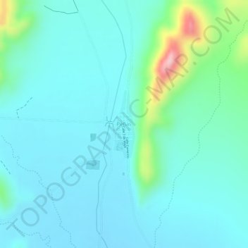
Name: Peñas topographic map, elevation, terrain.
Location: Peñas, Municipio Pazña, Provincia Poopó, Oruro, Bolivia (-18.69452 -66.75827 -18.68719 -66.75575)
Average elevation: 3,835 m
Minimum elevation: 3,794 m
Maximum elevation: 4,006 m
Make a donation
Gear up for your next adventure:
As an Amazon Associate, this site earns from qualifying purchases at no extra cost to you.
Other topographic maps
Click on a map to view its topography, its elevation and its terrain.
Pazña
Bolivia > Oruro > Provincia Poopó > Municipio Pazña
Pazña limita al norte con los municipios de El Choro y Poopó, al sur con Challapata, al este con el municipio de Antequera y al oeste con el municipio de Toledo y el lago Poopó. Su topografía presenta pendientes suaves, con planicies que sirven para el pastoreo y la agricultura.
Average elevation: 3,734 m