Geolocate

Montegrosso topographic map

Click on the map to display elevation.

About this map
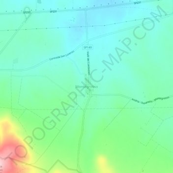
Name: Montegrosso topographic map, elevation, terrain.

Location: Montegrosso, Andria, Barletta-Andria-Trani, Puglia, Italia (41.15375 16.12013 41.19375 16.16013)

Average elevation: 233 m

Minimum elevation: 181 m

Maximum elevation: 394 m

Gear up for your next adventure:

🐕Hiking Dog Pack - Let your canine companion carry their own water and food
🥾Trekking Poles - Adjustable trekking poles to reduce knee stress and improve stability
🦟Insect Repellent - Keep mosquitoes and black flies away in wooded areas
🧼Travel Hand Sanitizer - Keep hands clean when water is scarce
🥾Trail Running Shoes - Lightweight and durable shoes for trail running

As an Amazon Associate, this site earns from qualifying purchases at no extra cost to you.