Geolocate

Pacollo topographic map

Click on the map to display elevation.

About this map

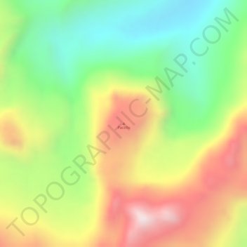
Name: Pacollo topographic map, elevation, terrain.

Location: Pacollo, Tarata, Tacna, Perú (-17.41116 -69.84922 -17.41106 -69.84912)

Average elevation: 4,992 m

Minimum elevation: 4,690 m

Maximum elevation: 5,324 m

Gear up for your next adventure:

🛌Down Sleeping Bag - Superior warmth-to-weight ratio for cold nights
🧊Insulated Water Bottle - Keeps drinks cold in summer and prevents freezing in winter
🥾Trail Hiking Socks - Comfortable socks to prevent blisters and fatigue
🥤Collapsible Travel Cup - Saves space and weight in your mess kit
🧭Orienteering Kit - Tools for map reading and navigation in the wild

As an Amazon Associate, this site earns from qualifying purchases at no extra cost to you.