Geolocate

Kadholi topographic map

Click on the map to display elevation.

About this map

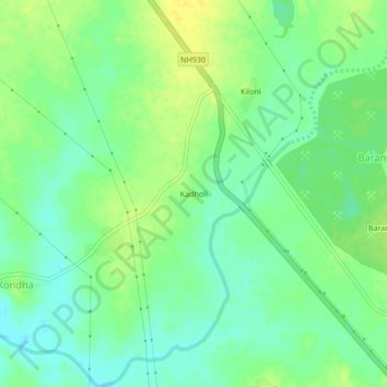
Name: Kadholi topographic map, elevation, terrain.

Location: Kadholi, Bhadravati, Chandrapur, Maharashtra, 442503, India (20.12171 79.06387 20.16171 79.10387)

Average elevation: 195 m

Minimum elevation: 185 m

Maximum elevation: 205 m

Gear up for your next adventure:

👟Trail Running Shoes - Agile footwear for fast-paced topographic exploration
🚲Handlebar Phone Mount - View topographic-map.com live while cycling
🧴Insect Repellent - Protect yourself from bugs during outdoor adventures
🥾Mountain Trail Shoes - High-traction shoes for mountain trails
🚲Heavy Duty Bike Lock - Secure your bike at the trailhead or during stops

As an Amazon Associate, this site earns from qualifying purchases at no extra cost to you.