
Greenwater topographic map
Click on the map to display elevation.
Greenwater
Greenwater is located at the confluence of the Greenwater and White Rivers, at an approximate elevation of 1,700 feet (520 m) above sea level.
About this map
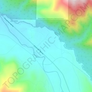
Name: Greenwater topographic map, elevation, terrain.
Location: Greenwater, Pierce County, Washington, United States (47.13115 -121.66028 47.15871 -121.60101)
Average elevation: 655 m
Minimum elevation: 512 m
Maximum elevation: 1,165 m
Other topographic maps
Click on a map to view its topography, its elevation and its terrain.
Charlotte's Blueberry Park
United States > Washington > Pierce County > Tacoma
Average elevation: 121 m