
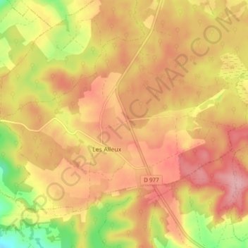
Les Alleux topographic map
Interactive map
Click on the map to display elevation.
About this map
Name: Les Alleux topographic map, elevation, terrain.
Average elevation: 180 m
Minimum elevation: 100 m
Maximum elevation: 229 m
Other topographic maps
Click on a map to view its topography, its elevation and its terrain.
Louvergny
France > Grand Est > Ardennes > Bairon et ses environs
Louvergny, Bairon et ses environs, Vouziers, Ardennes, Grand Est, France métropolitaine, France
Average elevation: 210 m
Le Chesne
France > Grand Est > Ardennes > Bairon et ses environs
Le Chesne, Bairon et ses environs, Vouziers, Ardennes, Grand Est, France métropolitaine, France
Average elevation: 180 m