Geolocate

Sheep River topographic map

Click on the map to display elevation.

About this map

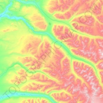
Name: Sheep River topographic map, elevation, terrain.

Location: Sheep River, Matanuska-Susitna, Alaska, United States (62.04949 -149.79815 62.37827 -148.78785)

Average elevation: 1,028 m

Minimum elevation: 149 m

Maximum elevation: 2,437 m

Other topographic maps

Click on a map to view its topography, its elevation and its terrain.

Glacier View

United States > Alaska > Matanuska-Susitna

Average elevation: 1,127 m

Matanuska

United States > Alaska > Matanuska-Susitna

Average elevation: 15 m

Houston

United States > Alaska > Matanuska-Susitna

Average elevation: 78 m

Willow

United States > Alaska > Matanuska-Susitna

Average elevation: 396 m

Gear up for your next adventure:

💡LED Camping Lantern - Illuminate your campsite with long-lasting lanterns
🔋Solar Power Bank - Keep your GPS and devices charged during long outdoor trips
🧭Orienteering Kit - Tools for map reading and navigation in the wild
🎒Hiking Daypack - Lightweight and durable backpacks for day trips and excursions
🧥Fleece Jacket - Warm and lightweight jacket for layering

As an Amazon Associate, this site earns from qualifying purchases at no extra cost to you.