Geolocate

Buxán topographic map

Click on the map to display elevation.

About this map
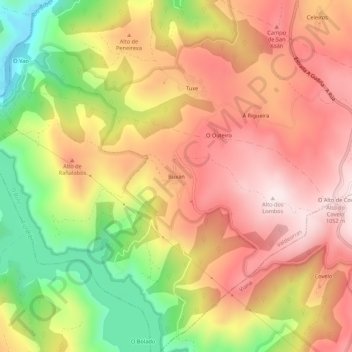
Name: Buxán topographic map, elevation, terrain.

Location: Buxán, El Bollo, Valdeorras, Orense, Galicia, 32375, España (42.21915 -7.15558 42.25915 -7.11558)

Average elevation: 844 m

Minimum elevation: 550 m

Maximum elevation: 1,064 m

Gear up for your next adventure:

🔦UV Flashlight - Detect minerals or specific insects in the dark
🔨Vehicle Emergency Tool - Safety tool for remote road trips to trailheads
🕶️Polarized Sunglasses - Protect your eyes with durable polarized lenses
🧥Waterproof Pants - Keep dry during rainy hiking conditions
🧦Crew Hiking Socks - Comfortable socks for long-distance hikes

As an Amazon Associate, this site earns from qualifying purchases at no extra cost to you.