
Bondat topographic map
Interactive map
Click on the map to display elevation.
About this map
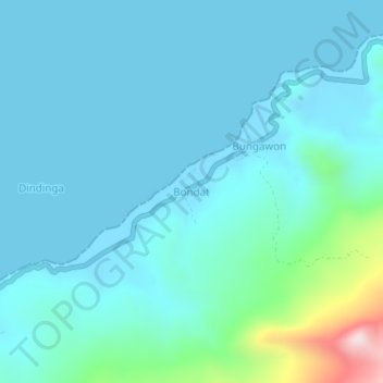
Name: Bondat topographic map, elevation, terrain.
Location: Bondat, Banggai, Sulawesi central, Indonésie (-0.81430 122.74460 -0.77430 122.78460)
Average elevation: 91 m
Minimum elevation: -5 m
Maximum elevation: 707 m