Geolocate

Lake Fork topographic map

Click on the map to display elevation.

About this map

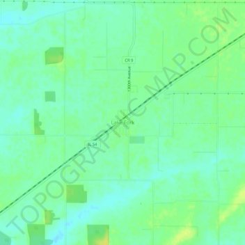
Name: Lake Fork topographic map, elevation, terrain.

Location: Lake Fork, Logan County, Illinois, 62541, United States (39.95060 -89.37009 39.99060 -89.33009)

Average elevation: 181 m

Minimum elevation: 173 m

Maximum elevation: 192 m

Other topographic maps

Click on a map to view its topography, its elevation and its terrain.

Latham

United States > Illinois > Logan County

Average elevation: 186 m

Lincoln

United States > Illinois > Logan County

Average elevation: 178 m

Mount Pulaski

United States > Illinois > Logan County

Average elevation: 192 m

Atlanta

United States > Illinois > Logan County

Average elevation: 218 m

Gear up for your next adventure:

🦌Outdoor Trail Camera - Monitor wildlife activity near your favorite spots
🧥Thermal Fleece Jacket - Versatile insulation for changing mountain temperatures
🧴Waterproofing Spray - Restore the DWR coating on jackets and tents
🥾Trail Hiking Socks - Comfortable socks to prevent blisters and fatigue
🥤Collapsible Travel Cup - Saves space and weight in your mess kit

As an Amazon Associate, this site earns from qualifying purchases at no extra cost to you.