
Phú Thọ topographic map
Interactive map
Click on the map to display elevation.
About this map
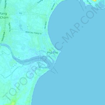
Name: Phú Thọ topographic map, elevation, terrain.
Location: Phú Thọ, Ninh Thuan province, Vietnam (11.50862 108.98815 11.58862 109.06815)
Average elevation: 2 m
Minimum elevation: -1 m
Maximum elevation: 45 m