Geolocate

Lydia topographic map

Click on the map to display elevation.

About this map

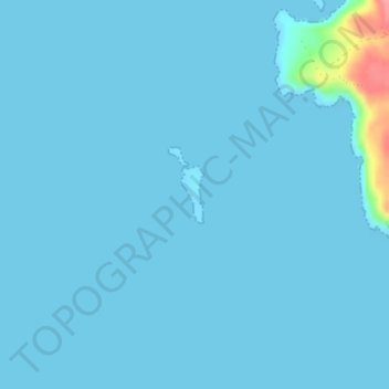
Name: Lydia topographic map, elevation, terrain.

Location: Lydia, Regional Unit of Islands, Attica, Greece (36.18999 22.89973 36.19397 22.90164)

Average elevation: 4 m

Minimum elevation: 0 m

Maximum elevation: 92 m

Gear up for your next adventure:

🧭GPS Outdoor Watch - Smart watch for navigation and fitness tracking in nature
🥾Mountain Hiking Boots - High-traction boots for rocky terrain
🧴Bear Spray Holster - Quick-access carry for essential Canadian wilderness safety
🕶️Polarized Sunglasses - Reduces glare from snow and water at high elevations
🛶Kayak Accessories - Essential gear for safe and fun kayaking adventures

As an Amazon Associate, this site earns from qualifying purchases at no extra cost to you.