Geolocate

Chioccale topographic map

Click on the map to display elevation.

About this map

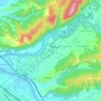
Name: Chioccale topographic map, elevation, terrain.

Location: Chioccale, Vignole Borbera, Alessandria, Piemonte, 15060, Italia (44.69260 8.88219 44.73260 8.92219)

Average elevation: 287 m

Minimum elevation: 204 m

Maximum elevation: 505 m

Gear up for your next adventure:

🎒Hiking Backpack - Lightweight and ergonomic backpacks for day hikes or multi-day treks
🗺️Topographic Maps - Detailed maps to explore trails, mountains, and wilderness areas
🥾Trekking Boots - Durable boots for long-distance trekking
Lightweight Backpacking Tent - Compact tent for efficient hiking trips
🥾Lightweight Hiking Boots - Boots for comfort and mobility on long hikes

As an Amazon Associate, this site earns from qualifying purchases at no extra cost to you.