Geolocate

El Cebadal topographic map

Click on the map to display elevation.

About this map

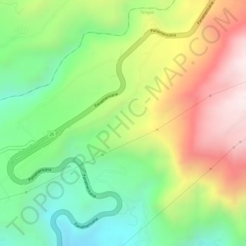
Name: El Cebadal topographic map, elevation, terrain.

Location: El Cebadal, Tangua, Centro, Nariño, Colombia (1.10435 -77.38495 1.12435 -77.36495)

Average elevation: 2,839 m

Minimum elevation: 2,536 m

Maximum elevation: 3,200 m

Gear up for your next adventure:

🔭Compact Binoculars - Lightweight optics for scouting trails and wildlife
💡Solar Camping Lamp - Eco-friendly lighting for campsites
🥾Mountain Hiking Shoes - Shoes with superior grip for mountainous terrain
🦟Insect Repellent - Keep mosquitoes and black flies away in wooded areas
🥾Hiking Boots - Sturdy boots providing ankle support and traction on rugged trails

As an Amazon Associate, this site earns from qualifying purchases at no extra cost to you.