Geolocate

Kendri topographic map

Click on the map to display elevation.

About this map

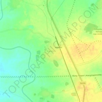
Name: Kendri topographic map, elevation, terrain.

Location: Kendri, Abhanpur Tahsil, Raipur, Chhattisgarh, 490002, India (21.07963 81.71798 21.11963 81.75798)

Average elevation: 314 m

Minimum elevation: 299 m

Maximum elevation: 327 m

Gear up for your next adventure:

🧢Outdoor Visor - Breathable visor for sunny hikes
🧤Insulated Winter Gloves - Heavy-duty protection for sub-zero Canadian adventures
🔥Emergency Fire Starter - Reliable ignition source for all weather conditions
🥾Trail Running Boots - Durable shoes designed for trail running
Lightweight Backpacking Tent - Compact tent for efficient hiking trips

As an Amazon Associate, this site earns from qualifying purchases at no extra cost to you.