Geolocate

Mount Edgecumbe topographic map

Click on the map to display elevation.

About this map

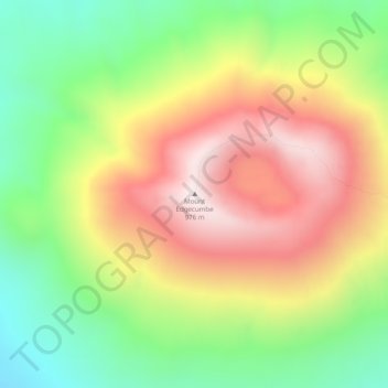
Name: Mount Edgecumbe topographic map, elevation, terrain.

Location: Mount Edgecumbe, Sitka, Alaska, United States (57.05137 -135.76062 57.05147 -135.76052)

Average elevation: 597 m

Minimum elevation: 232 m

Maximum elevation: 1,006 m

Other topographic maps

Click on a map to view its topography, its elevation and its terrain.

Kruzof Island

United States > Alaska > Sitka

Average elevation: 88 m

Nameless Island

United States > Alaska > Sitka

Average elevation: 0 m

Road Island

United States > Alaska > Sitka

Average elevation: 28 m

Gear up for your next adventure:

Bushcraft Tarp - Versatile emergency shelter or gear protection
🪑Ultralight Camping Stool - Compact seating for rest stops during long hikes
💡LED Headlamp - Hands-free illumination for night hiking and camping
🦶Anti-Blister Balm - Prevents friction and hotspots during long ascents
🥾Trekking Boots - Durable boots for long-distance trekking

As an Amazon Associate, this site earns from qualifying purchases at no extra cost to you.