Geolocate

Sadabad topographic map

Click on the map to display elevation.

About this map

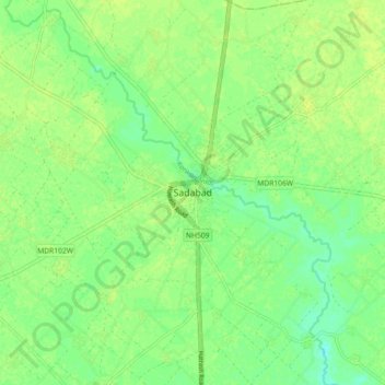
Name: Sadabad topographic map, elevation, terrain.

Location: Sadabad, Hathras, Uttar Pradesh, 281306, India (27.39902 77.99592 27.47902 78.07592)

Average elevation: 172 m

Minimum elevation: 163 m

Maximum elevation: 177 m

Gear up for your next adventure:

🧣Merino Neck Gaiter - Protects against wind, sun, and cold at high altitudes
🎒Hiking Backpack - Lightweight and ergonomic backpacks for day hikes or multi-day treks
🥾Trail Running Shoes - Lightweight and durable shoes for trail running
🔨Vehicle Emergency Tool - Safety tool for remote road trips to trailheads
🧥Insulated Jacket - Keep warm in cold outdoor conditions

As an Amazon Associate, this site earns from qualifying purchases at no extra cost to you.