Geolocate

Tepetiltic topographic map

Click on the map to display elevation.

About this map

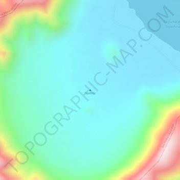
Name: Tepetiltic topographic map, elevation, terrain.

Location: Tepetiltic, San Pedro Lagunillas, Nayarit, Mexico (21.26373 -104.69976 21.26383 -104.69966)

Average elevation: 1,520 m

Minimum elevation: 1,419 m

Maximum elevation: 1,845 m

Gear up for your next adventure:

🏃Hydration Running Vest - Carry water and maps close to your body for speed
💡Solar Camping Lamp - Eco-friendly lighting for campsites
🥾Hiking Boots - Sturdy boots providing ankle support and traction on rugged trails
💡LED Camping Lantern - Illuminate your campsite with long-lasting lanterns
🌬️Windproof Camp Stove - Efficient cooking even on exposed mountain peaks

As an Amazon Associate, this site earns from qualifying purchases at no extra cost to you.