
Ciburuy topographic map
Click on the map to display elevation.
About this map
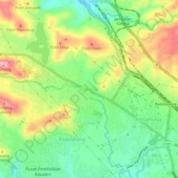
Name: Ciburuy topographic map, elevation, terrain.
Location: Ciburuy, Bandung Barat, West Java, Java, 40553, Indonesia (-6.86013 107.45972 -6.82013 107.49972)
Average elevation: 703 m
Minimum elevation: 621 m
Maximum elevation: 816 m