Geolocate

Longvic topographic map

Click on the map to display elevation.

About this map

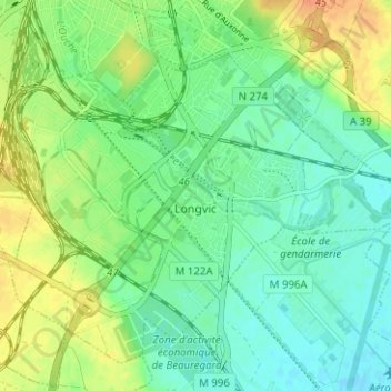
Name: Longvic topographic map, elevation, terrain.

Location: Longvic, Dijon, Côte-d'Or, Bourgogne-Franche-Comté, Metropolitan France, 21600, France (47.26718 5.02726 47.30380 5.09004)

Average elevation: 231 m

Minimum elevation: 217 m

Maximum elevation: 255 m

Other topographic maps

Click on a map to view its topography, its elevation and its terrain.

Pommard

France > Bourgogne-Franche-Comté > Côte-d'Or > Pommard > Pommard

Average elevation: 277 m

Gear up for your next adventure:

🧢Beanie Hat - Keep your head warm in cold weather
🥾Trekking Boots - Durable boots for long-distance trekking
🦟Insect Repellent - Keep mosquitoes and black flies away in wooded areas
🧥Packable Rain Jacket - Breathable waterproof layer for unpredictable weather
🪜Heavy Duty Carabiners - Multi-use clips for securing gear to your backpack

As an Amazon Associate, this site earns from qualifying purchases at no extra cost to you.