Geolocate

Wolfsputten topographic map

Click on the map to display elevation.

About this map

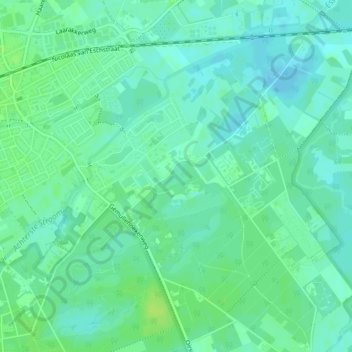
Name: Wolfsputten topographic map, elevation, terrain.

Location: Wolfsputten, Oisterwijk, Noord-Brabant, Nederland (51.57433 5.21704 51.57660 5.22124)

Average elevation: 10 m

Minimum elevation: 4 m

Maximum elevation: 16 m

Other topographic maps

Click on a map to view its topography, its elevation and its terrain.

Hondsberg

Nederland > Noord-Brabant > Oisterwijk

Average elevation: 11 m

Gear up for your next adventure:

Lightweight Backpacking Tent - Compact tent for efficient hiking trips
🗺️Topographic Maps - Detailed maps to explore trails, mountains, and wilderness areas
🛌Down Sleeping Bag - Superior warmth-to-weight ratio for cold nights
💡LED Camping Lantern - Illuminate your campsite with long-lasting lanterns
🥾Mountain Hiking Boots - High-traction boots for rocky terrain

As an Amazon Associate, this site earns from qualifying purchases at no extra cost to you.