Geolocate

Fraserview topographic map

Interactive map

Click on the map to display elevation.

About this map

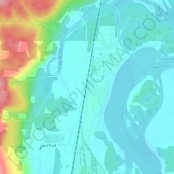
Name: Fraserview topographic map, elevation, terrain.

Location: Fraserview, Prince George, Regional District of Fraser-Fort George, British Columbia, Canada (53.98280 -122.70322 54.00280 -122.68322)

Average elevation: 590 m

Minimum elevation: 564 m

Maximum elevation: 686 m

Other topographic maps

Click on a map to view its topography, its elevation and its terrain.

Prince George

Canada > British Columbia > Regional District of Fraser-Fort George > Prince George

Prince George, Regional District of Fraser-Fort George, British Columbia, V2L 2K6, Canada

Average elevation: 708 m

Cottonwood Island Park

Canada > British Columbia > Regional District of Fraser-Fort George > Prince George

Cottonwood Island Park, Prince George, Regional District of Fraser-Fort George, British Columbia, Canada

Average elevation: 586 m