Geolocate

Lerz topographic map

Click on the map to display elevation.

About this map

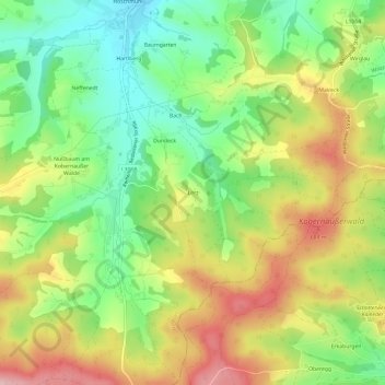
Name: Lerz topographic map, elevation, terrain.

Location: Lerz, Waldzell, Bezirk Ried im Innkreis, 4924, Austria (48.08513 13.40502 48.12513 13.44502)

Average elevation: 612 m

Minimum elevation: 525 m

Maximum elevation: 719 m

Gear up for your next adventure:

Camping Coffee Maker - Brew fresh coffee anywhere on the topographic map
Family Camping Tent - Spacious tent suitable for family camping trips
🥾Waterproof Hiking Boots - Essential footwear for rugged terrain and wet Canadian trails
Camping Tent - Weather-resistant tents suitable for 2 to 6 people
Camping Groundsheet - Protect your tent from moisture and dirt

As an Amazon Associate, this site earns from qualifying purchases at no extra cost to you.