
Jua topographic map
Interactive map
Click on the map to display elevation.
About this map
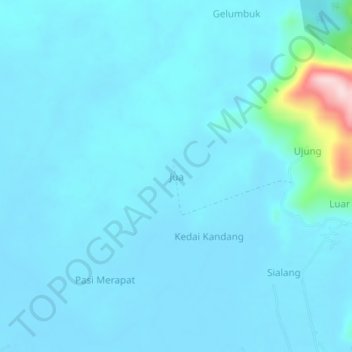
Name: Jua topographic map, elevation, terrain.
Location: Jua, Bakongan Timur, Aceh Selatan, Aceh, Sumatra, Indonésie (2.90088 97.51948 2.94088 97.55948)
Average elevation: 25 m
Minimum elevation: 1 m
Maximum elevation: 296 m