
Hatnoor topographic map
Click on the map to display elevation.
About this map
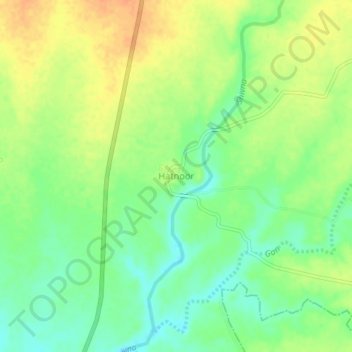
Name: Hatnoor topographic map, elevation, terrain.
Location: Hatnoor, Kannad, Chhatrapati Sambhajinagar, Maharashtra, India (20.14309 75.11805 20.18309 75.15805)
Average elevation: 579 m
Minimum elevation: 560 m
Maximum elevation: 599 m