
Savognin topographic map
Click on the map to display elevation.
About this map
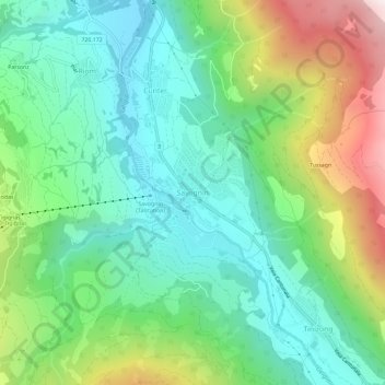
Name: Savognin topographic map, elevation, terrain.
Location: Savognin, Surses, Albula, Grisons, 7460, Switzerland (46.57696 9.57815 46.61696 9.61815)
Average elevation: 1,461 m
Minimum elevation: 1,120 m
Maximum elevation: 2,216 m