Geolocate

Eyota topographic map

Click on the map to display elevation.

About this map
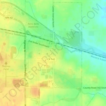
Name: Eyota topographic map, elevation, terrain.

Location: Eyota, Olmsted County, Minnesota, United States (43.97318 -92.25376 43.99909 -92.21906)

Average elevation: 384 m

Minimum elevation: 367 m

Maximum elevation: 398 m

Other topographic maps

Click on a map to view its topography, its elevation and its terrain.

Essex Park

United States > Minnesota > Olmsted County > Rochester

Average elevation: 307 m

Mayo Lake

United States > Minnesota > Olmsted County > Rochester

Average elevation: 336 m

Gear up for your next adventure:

🦌Outdoor Trail Camera - Monitor wildlife activity near your favorite spots
🚲MTB Frame Bag - Carry tools and maps directly on your bicycle frame
🥾Lightweight Hiking Shoes - Comfortable shoes for day hikes
🩹Moleskin Blister Pads - Direct protection for painful foot pressure points
⛺Camping Tent - Weather-resistant tents suitable for 2 to 6 people

As an Amazon Associate, this site earns from qualifying purchases at no extra cost to you.