
Make a donation
Gear up for your next adventure:
As an Amazon Associate, this site earns from qualifying purchases at no extra cost to you.
Groton topographic map
Click on the map to display elevation.
Make a donation
Gear up for your next adventure:
As an Amazon Associate, this site earns from qualifying purchases at no extra cost to you.
About this map
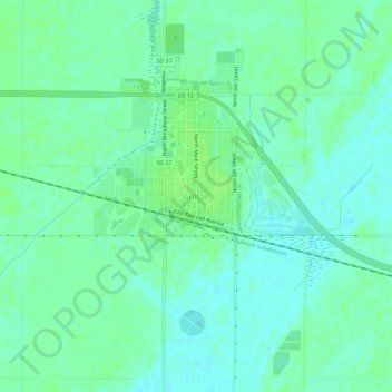
Name: Groton topographic map, elevation, terrain.
Location: Groton, Brown County, South Dakota, 57445, United States (45.42731 -98.11878 45.46731 -98.07878)
Average elevation: 397 m
Minimum elevation: 392 m
Maximum elevation: 402 m
Make a donation
Gear up for your next adventure:
As an Amazon Associate, this site earns from qualifying purchases at no extra cost to you.
Other topographic maps
Click on a map to view its topography, its elevation and its terrain.
Groton City Limit
United States > South Dakota > Brown County > Groton City Limit
Average elevation: 398 m
Make a donation
Gear up for your next adventure:
As an Amazon Associate, this site earns from qualifying purchases at no extra cost to you.