Geolocate

Zack topographic map

Click on the map to display elevation.

About this map

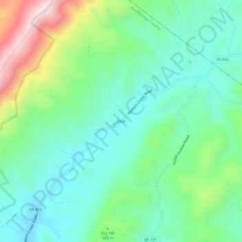
Name: Zack topographic map, elevation, terrain.

Location: Zack, Rockbridge County, Virginia, United States (37.97291 -79.38087 38.01291 -79.34087)

Average elevation: 542 m

Minimum elevation: 391 m

Maximum elevation: 924 m

Other topographic maps

Click on a map to view its topography, its elevation and its terrain.

Glasgow

United States > Virginia > Rockbridge County

Average elevation: 284 m

Hays Creek

United States > Virginia > Rockbridge County

Average elevation: 438 m

Goshen

United States > Virginia > Rockbridge County

Average elevation: 472 m

Gear up for your next adventure:

🐕Hiking Dog Pack - Let your canine companion carry their own water and food
👖Convertible Hiking Pants - Zip-off legs to adapt to changing weather conditions
🥾Trekking Poles - Adjustable trekking poles to reduce knee stress and improve stability
🛌Insulated Sleeping Pad - Critical thermal barrier between you and the cold ground
🧢Sun Protection Cap - Breathable cap to protect from sun exposure

As an Amazon Associate, this site earns from qualifying purchases at no extra cost to you.