Geolocate

Gros-Breil topographic map

Click on the map to display elevation.

About this map

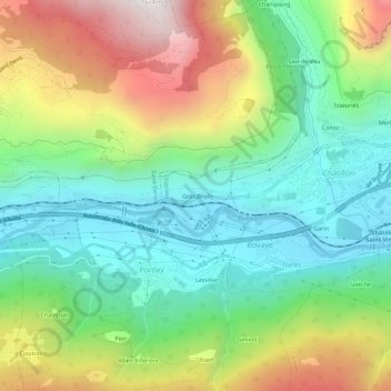
Name: Gros-Breil topographic map, elevation, terrain.

Location: Gros-Breil, Châtillon, Aosta Valley, 11024, Italy (45.72639 7.57160 45.76639 7.61160)

Average elevation: 845 m

Minimum elevation: 440 m

Maximum elevation: 1,567 m

Other topographic maps

Click on a map to view its topography, its elevation and its terrain.

Castello Gamba

Italy > Aosta Valley > Châtillon > Sétoret

Average elevation: 687 m

Gear up for your next adventure:

🧥Fleece Jacket - Warm and lightweight jacket for layering
🧦Merino Wool Socks - Moisture-wicking comfort for long-distance hiking
🚲Bike Repair Kit - Essential tools for on-trail mechanical issues
🧴Bear Spray Holster - Quick-access carry for essential Canadian wilderness safety
💡LED Camping Lantern - Illuminate your campsite with long-lasting lanterns

As an Amazon Associate, this site earns from qualifying purchases at no extra cost to you.